23.06.2025
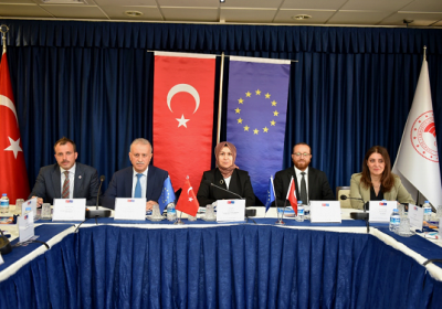
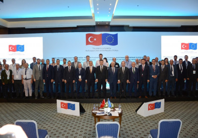
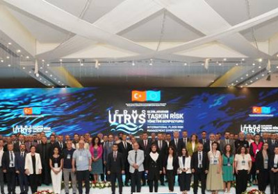
International Symposium on Flood Risk Management and Project Closing Event Held in Edirne

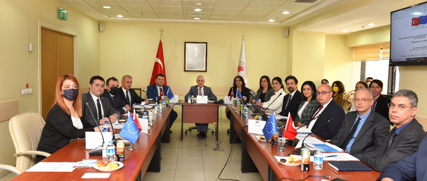
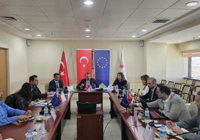
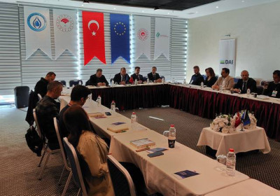
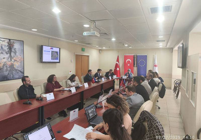
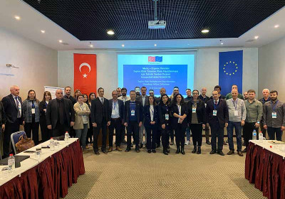
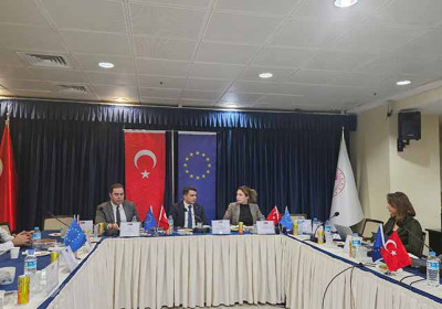
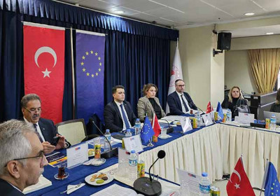
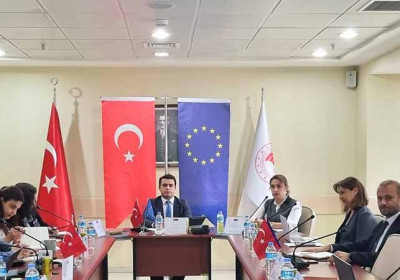
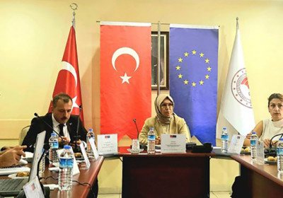
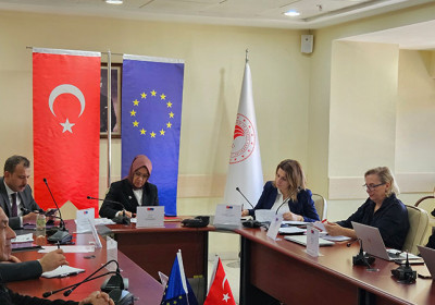
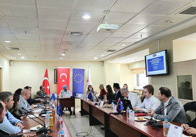
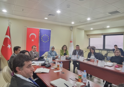
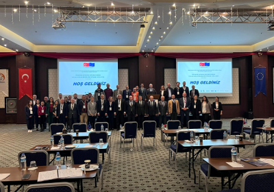
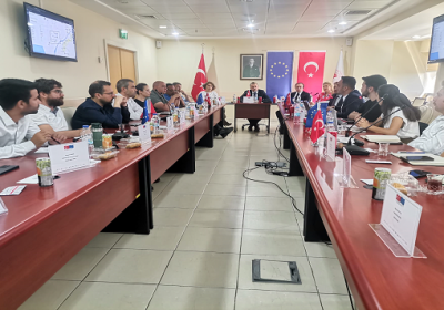
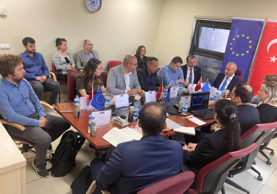
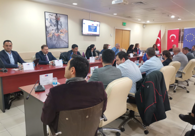
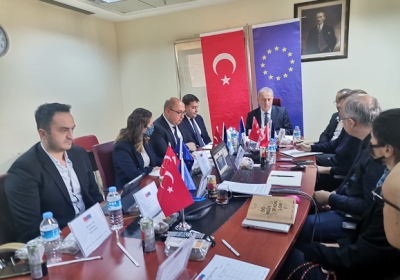
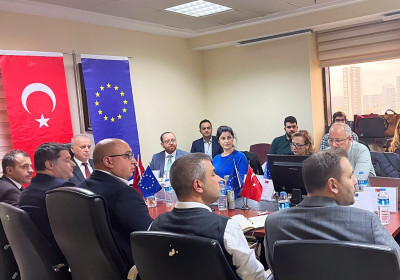
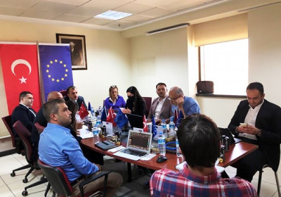
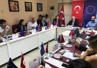
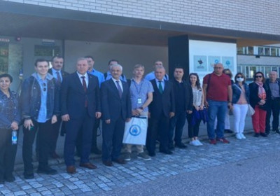
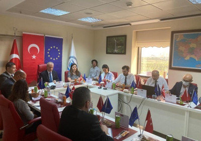
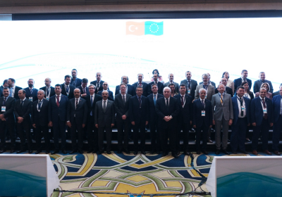
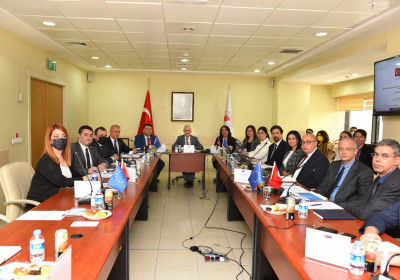
Within the scope of the Activity 1.1 of the “Technical Assistance to Prepare Flood Risk Management Plan For Meriç-Ergene River Basin” project co-financed by the European Union (IPA-2) and the Republic of Türkiye, a 3-day workshop was carried out between 10 April - 12 April 2023 in Tekirdağ/Çorlu. Edirne Deputy Mayor Mr. Yaver Tetik, Kırklareli Provincial Directorate of Environment, Urbanization and Climate Change Provincial Director Ersoy Canbek, Ministry of Agriculture and Forestry, General Directorate of Water Management, Head of Flood and Drought Department Mr. Sadık Buğra Fındık, Edirne Forestry Operations Directorate, General Directorate of DSİ, Edirne 11th Regional Directorate, Edirne 14th Regional Directorate, General Directorate of Forestry, Istanbul Regional Directorate of Forestry, Çorlu Municipality, Ergene Municipality, Kırklareli Provincial Directorate of Agriculture and Forestry, General Directorate of Highways, Çorlu Meydan Meteorology Directorate, Turkish State Railways, Lüleburgaz Municipality, Edirne Provincial Health Directorate , Ministry of Health, Kırklareli Provincial Health Directorate, Tekirdağ Meteorology Directorate, Tekirdağ AFAD officials and contractor company officials participated in the event, with a total of 48 attendants.
In the 3-day workshop, it was aimed to explain the scope and methodology of the Flood Risk Preliminary Assessment (PFRA) approach, the content of the PFRA report and the results, and a site visit was made to the settlements found at risk within the scope of the workshop.
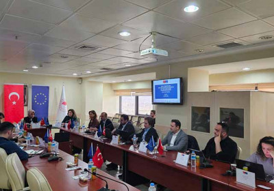
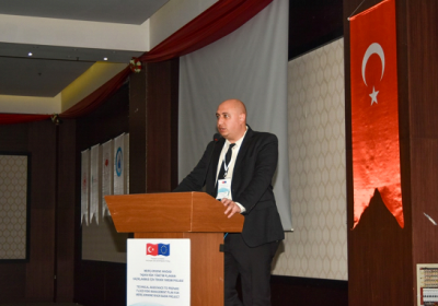
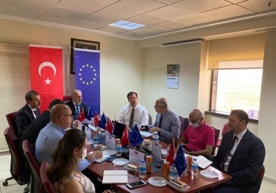
The first day of the workshop started with the opening speeches. Speaking on behalf of the consortium leader, DAI, Project Director Gönül Ertürer underlined the increasing impact of climate change on floods in her opening speech and emphasized the importance of coordination between countries in the Meriç-Ergene basin as a basin shared with Bulgaria and Greece as another important dimension of the project.
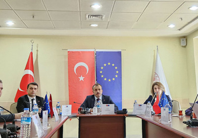
Then, it continued with the speech of Mr. Sadık Buğra Fındık, Head of Water Management Flood and Drought Department of the Ministry of Agriculture and Forestry about the project. He talked about the negative effects of climate change and the fact that the most pessimistic scenario as referred to in the IPCC (Intergovernmental Climate Change Panel) has taken place, and that floods have increased in recent years. He also underlined the importance of the Flood Management Plans, talked about the project studies, and stated that there are updates in 5 basins in addition to the Flood Management Plan in 24 basins that have been completed in Turkey, but the Meriç - Ergene basin remains the only basin where the plan has not been implemented.
Following, Project Team Leader Mr. Dr. Deniz İtibar made a presentation titled “PFRA Introduction and Scope of Studies” and “Summary of PFRA Methodology Used in the Project, Content of PFRA Report and Announcement of Results 1”. He first focused on the purpose and objectives of the project in the presentation and gave detailed information about the activity sets of the project. Afterwards, he talked about the Flood Risk Preliminary Assessment details and provided information on data acquisition and regulation. In this section, various information and visuals were presented about the determination of Flow Observation Stations, the determination of Precipitation Observation Stations, the stations operated by DSİ, the stations operated by DSI, digital elevation data and physical parameters. He continued his speech by giving information about obtaining the basin branches and determining the alluvial areas in the basin. Later, he talked about the historical floods that took place in the basin, the critical facilities in the basin, and the identification of areas with landslide risk. Afterwards, he talked about the activities and site visits within the scope of PFRA and talked about PÖTRA (Potential Significant Flood Risk Area). Finally, he finished his speech by talking about the rivers that are considered as at risk.

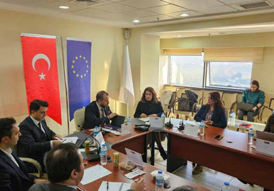
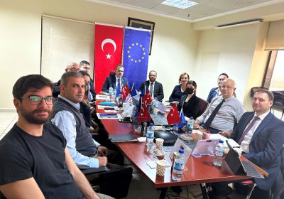
Afterwards, Deputy Team Leader Mr. Egemen Fırat made a presentation titled “Summary of PFRA Methodology used in the Project, Content of PFRA Report and Disclosure of Results 1”. In this presentation, he first mentioned the conditions and studies specified within the scope of PFRA. Afterwards, he explained the data collection phase for PFRA studies, land use, determination of settlement areas, digitization project layers, stream network and Horton – Strahler Streams in the Last 3 Tributes. The presentation continued with the water raising method, the rivers specified in the technical specifications, alluvial and agricultural areas, and industrial areas. He concluded his speech by mentioning the historical flood inventory, flood protection facilities, storage areas, critical facilities and important points, landslide impact, climate change impact and finally field studies and APSFR. The workshop continued with a presentation by the Project Deputy Team Leader on "Content and Results of the PFRA Report". In this presentation, he talked about the content of the Final Preliminary Flood Risk Assessment (PFRA) report, rivers at pre-risk, agricultural lands at pre-risk, impact of climate change.

The workshop continued with Project Engineer Mr. Alican Gündoğdu's speech titled "Evaluation of PFRA Results in GIS Environment". In his speech, Mr. Gündoğdu re-evaluated the Preliminary Flood Risk Assessment criteria and the settlements identified as risky with the views of the participants.
Then Mr. Mihai Stancu, Technical Expert from the Project Technical Assistance Team delivered a presentation on "Evaluation of the Results of the PFRA.” In his presentation, he talked about the methodology and activities of the implementation of the Flood Directive and Romanian practices regarding the Preliminary Flood Risk Assessment. He then commented on the similarities in approach between the two countries and concluded his speech with a conclusion and information on potential future PFRA applications.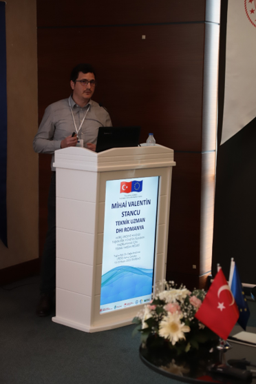
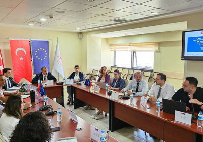
The last day of the workshop ended after general assessment, question-and-answer session.
The workshop started on the second day with the presentation "Implementation of the Flood Directive in Greece" by Mr. Elias Moussoulis, Technical Expert from the Project Technical Assistance Team. The presentation firstly mentioned the infrastructure and institutions in Greece, as well as historical practices, and then the coordination with the Water Framework Directive. In this context, information on the objectives, assessment, measures and criticisms of the Water Framework Directive was provided, areas for further development were mentioned, and the methodologies followed were explained. The cooperation between Greece and Bulgaria and between Greece and Türkiye was mentioned. Mr. Elias Moussoulis concluded his speech with a conclusion.
Mr. Elias Moussoulis then gave a presentation entitled "Implementation of the Flood Directive in Greece - Evros". In this presentation, he talked about the geography, flooding problem, pilot implementations regarding Meriç River and concluded his speech with a conclusion.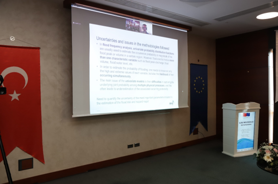
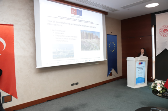
The workshop continued with the presentation of Technical Expert Nicoleta Roxanne Popescu from the Project Technical Assistance Team on "Factors Increasing Flood Risk and Nature-Based Solutions". During her speech, she mentioned the factors increasing flood risk. Later, she talked about nature-based solutions to the given problem and continued with a case study on the impact of afforestation on runoff reduction. He talked about the hydrological and hydrodynamic models within this study and concluded his speech with the results of the case study.
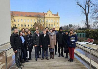
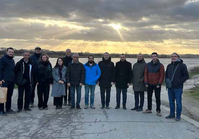
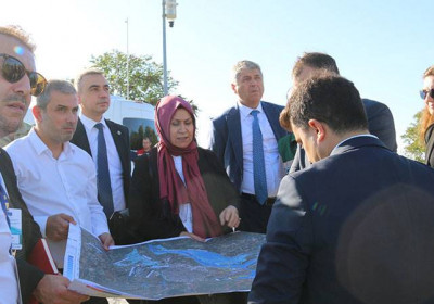
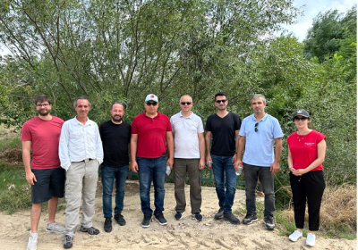
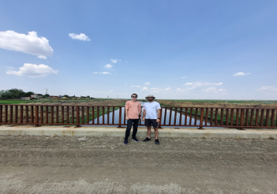
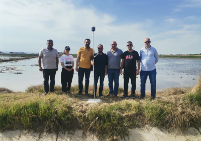
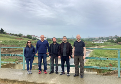
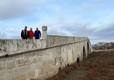
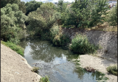
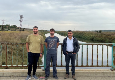
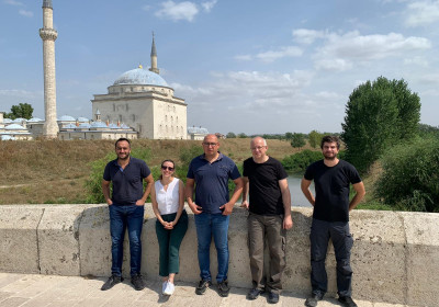
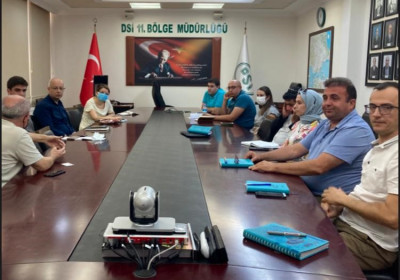
The second day of the workshop continued with field visit to the settlements at risk. Field studies were conducted with the participants. The locations of the visits carried out at 4 points in total and the streams surveyed at these points are shown below:
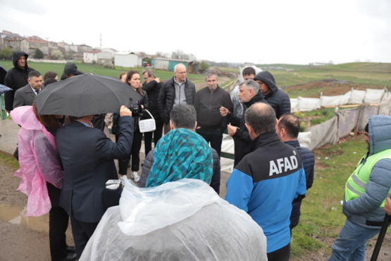
During the site visits, the participants were informed on the purpose of these visits with brief introductions. The importance of the site visits included in the Preliminary Flood Risk Assessment carried out within the scope of Activity 1 and the factors that cause the settlement to be considered pre-risk were conveyed to the participants.
At the same time, the measurement studies of the water structures (bridges, culverts, culverts) included in the mapping studies to be carried out within the scope of Activity 2 were shown to the participants as an example. Studies were carried out on how information such as width, length and height of the art structure on the stream bed was measured.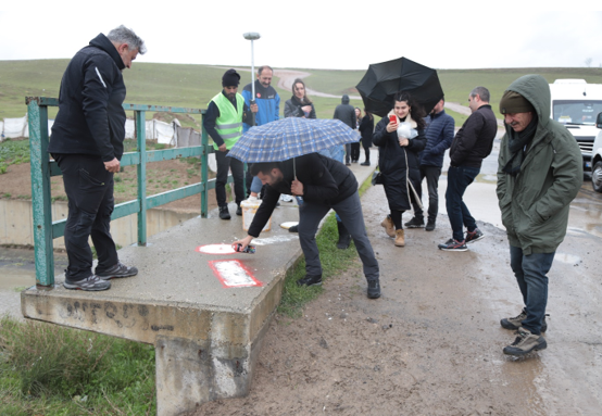
In addition, the images obtained as a result of the flight to be carried out in the mapping studies should be matched with the water structures measured on the ground. The stages that will take place for the matching were explained to the participants in detail.
The last day of the workshop started with a presentation titled "Evaluation of Field Studies" by Mr. Mesut Yılmaz from the General Directorate of Water Management. The speaker first talked about the preparation of the flight plan to be carried out in the region, the selection of the ground control point and flight operations. Then, within the scope of the planning at the end of the flight, balancing and terrain creation and valuation processes were mentioned. The presentation ended with the speaker's remarks about the survey studies of water structures and bathymetry studies.
The workshop continued with Project Engineer Mr. Alican Gündoğdu's presentation titled "Use of Maps in Flood Risk Maps". He explained the stages in the preparation of flood risk maps and touched upon the identification of buildings, digital elevation models and water structures.
Afterwards, Mr. Özgüray Aydın from the Project Technical Assistance Team delivered a presentation titled "Evaluation of the Flood Forecasting and Early Warning System". In his speech, he talked about modeling, provided examples from other countries on operational management, flood forecasting and early warnings by analyzing the current situation, and finally explained the national TATUS system.
The last presentation of the workshop was delivered by Mr. Mustafa Demirel from DGWM with his speech titled "Activities to be carried out within the scope of the Project". In his presentation, he talked about the scope of the project, flood management plan, flood hydrology studies and ongoing studies and gave detailed information especially about the mapping studies. Within the scope of his presentation, he focused on hydrological modeling studies, flood water depth maps, flood hazard maps and flood risk maps, and concluded his presentation by mentioning the measures within the scope of the flood early warning system by making strategic environmental assessments.
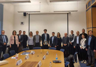
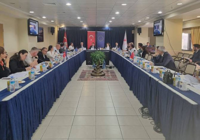
The workshop was concluded with comments and suggestions for conclusions, evaluation of the program, and a question-and-answer session.