Events
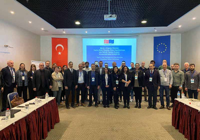
TECHNICAL ASSISTANCE TO PREPARE FLOOD RISK MANAGEMENT PLAN FOR MERİÇ-ERGENE RIVER BASIN - PROJECT FIELD VISIT WITHIN THE SCOPE ACTIVITY 1.1


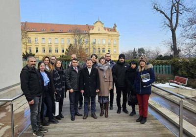
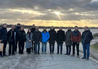
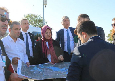
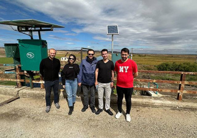
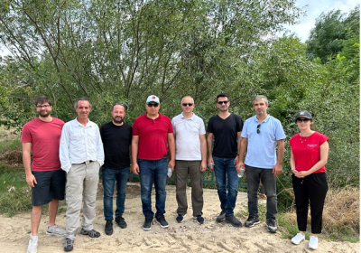
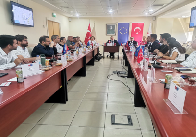
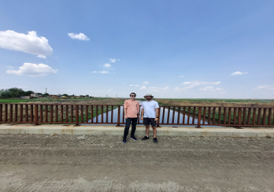
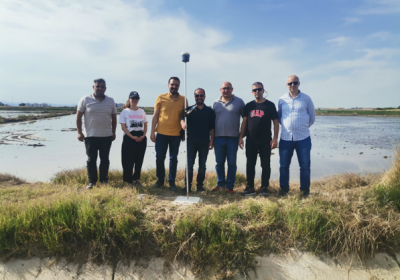
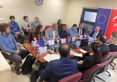
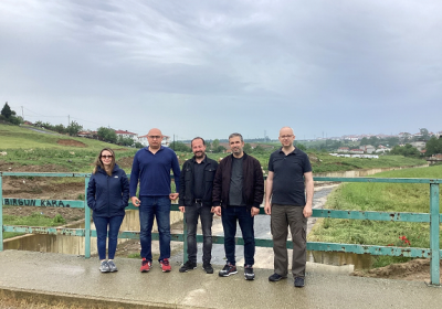
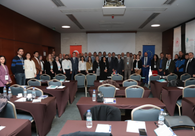
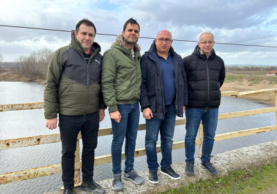
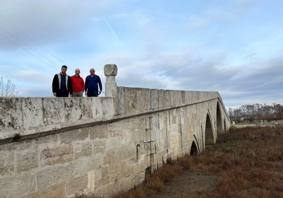
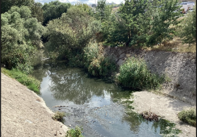
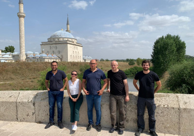
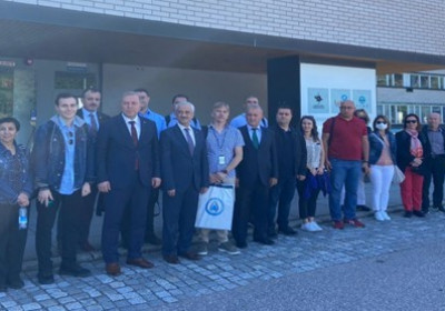
The Technical Assistance Team and Mehmet Seren KORKMAZ, the project advisor, detected areas with potential flood risk located in the various parts of the Meriç-Ergene River Basin and conducted field visits within the scope of the Preliminary Flood Risk Assessment (PFRA). During the five-day visit, the districts and villages located in the basin were visited.
At the stage of creating Flood Hazard Maps and Flood Risk Maps, which will be prepared within the scope of Activity 2 of the project, 1-dimensional and 2-dimensional hydrodynamic modeling works will be carried out. During the site visits, on-site observations are made before modeling the creeks in the settlements and it is examined whether they pose a risk in the settlement in case of possible flooding. In this context, villages and districts were visited to determine whether the settlements are at a preliminary risk and whether hydrodynamic modeling will be performed for these settlements within the scope of Activity 2 in the next stages of the study.
During the field visits, the location of the rivers with the settlement, the topographic situation of the settlement, the geometrical features of the river sections and art structures (bridges, culverts, abutments, weirs) are examined. There are streams that pass very far from the settlement or streams that have a serious elevation difference with the settlement. As a result of a possible flood, it is not possible for the water coming out of the riverbed to reach such settlements, so these places are considered riskless. On the other hand, since possible floods in rivers that pass through or near settlements and have no elevation difference affecting the settlements, these regions are considered at preliminary risk and included in modeling studies. In addition, if the river beds and art structures located on the rivers are insufficient in volume, these regions are also evaluated at preliminary risk since flood waters might reach settlements. Field visits are the healthiest way to assess these conditions for examining the settlements on-site.
Since the PRFA studies form the basis of the following activities, the field visits conducted at this stage are of great importance. The areas that are determined to be risk-free as a result of the examination will be scoped out from studies at the next stage. Therefore, within the scope of Activity 1.1, all settlements located in the Meriç-Ergene Basin are visited and risk detection procedures are carried out in detail.
This website was created and maintained with financial support of the European Union and the Republic of Türkiye. Its contents are the sole responsibility of the consortium led by DAI. It does not necessarily reflect the views of the Republic of Türkiye and the European Union.


