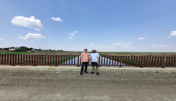
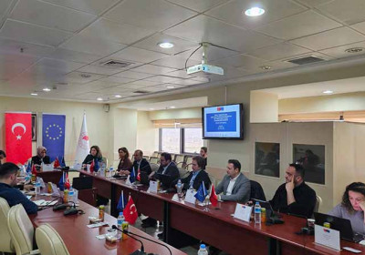
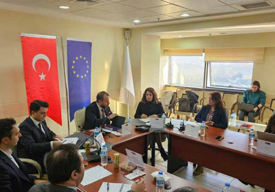
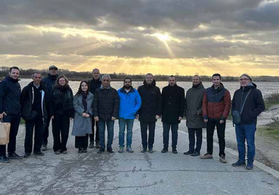
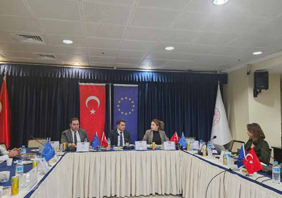
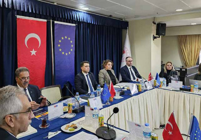
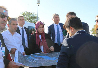
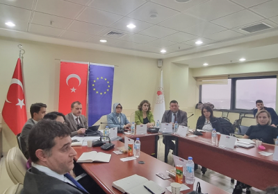
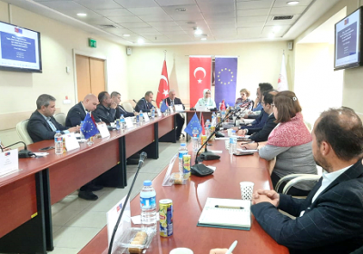
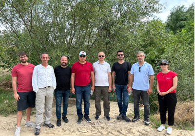
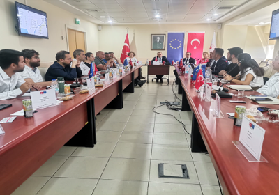
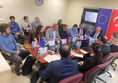
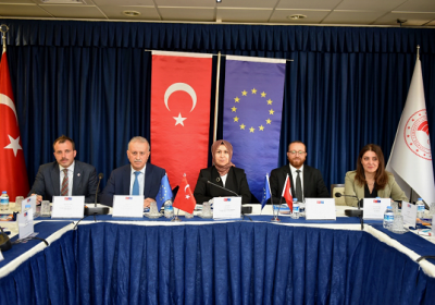
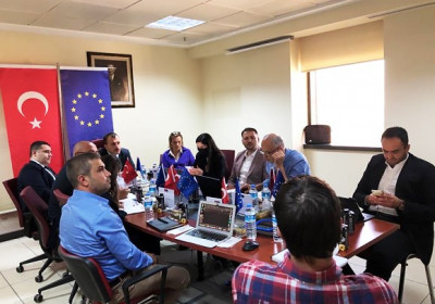
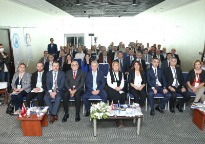
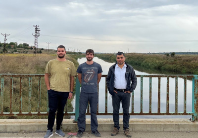
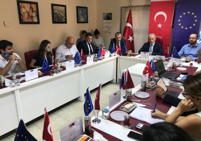
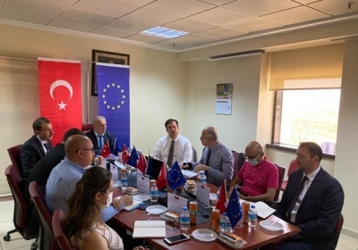
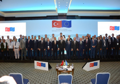
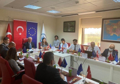
Within the scope of Activity 2.5 of the “Technical Assistance to Prepare Flood Risk Management Plan for Meriç-Ergene River Basin” project co-financed by the European Union (IPA-2) and the Republic of Türkiye, a 5-day field visit was carried out between 10-14 July 2023.
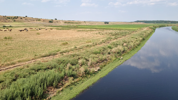
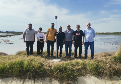
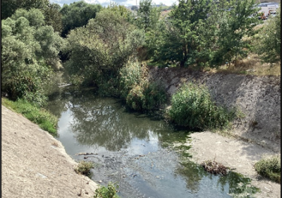
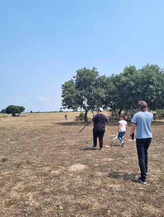
During the visit, with the participation of the Technical Assistance Team, observations were made for hydraulic model studies, especially in the Meriç and Ergene Rivers, the 2 largest main river tributaries of the basin. The topography of the land was studied at various points and the flow directions in the floodplain were determined. In this way, it was aimed to increase the accuracy of hydraulic models by ensuring that the cross-sections to be created in agricultural lands are perpendicular and close to the flow direction at every point.
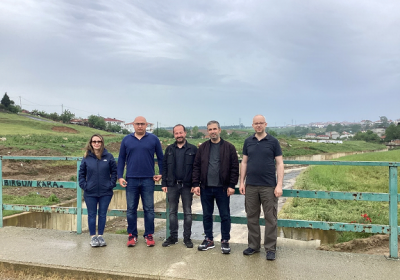
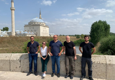
In addition, the structural integrity and existence of the embankments that will affect flood extention in 2D models were observed. With this study, it was aimed to decide to what extent the effect of the embankments should be taken in hydraulic models.
At the points visited, the surface structure and material of the stream bed were also observed to get an idea of the roughness coefficient.
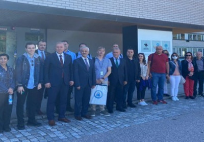
The work of the surveying team actively working in the field was examined and the measurements of the water-related structures and the establishment of ground control points were inspected.