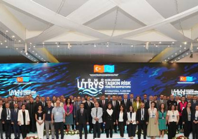
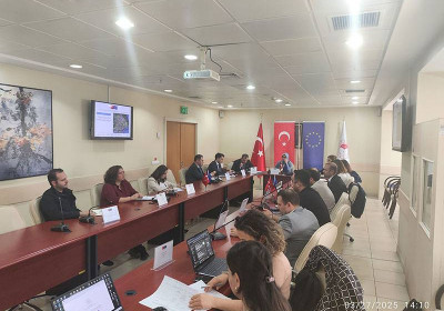
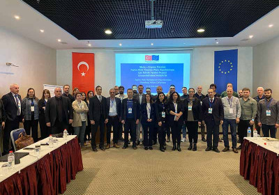
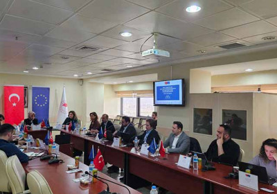
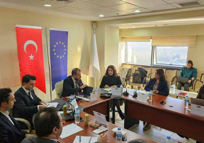
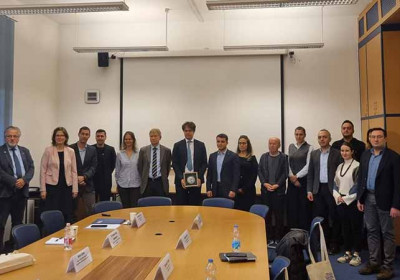
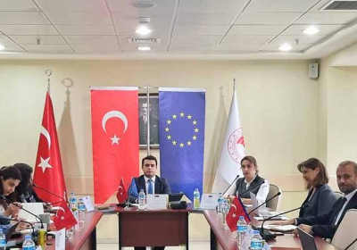
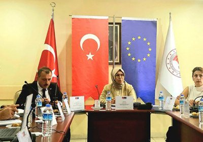
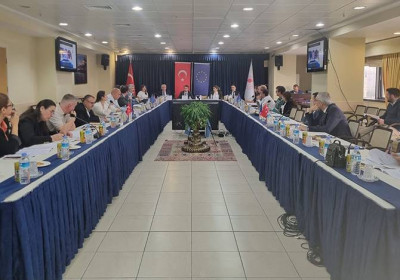
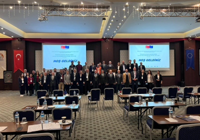
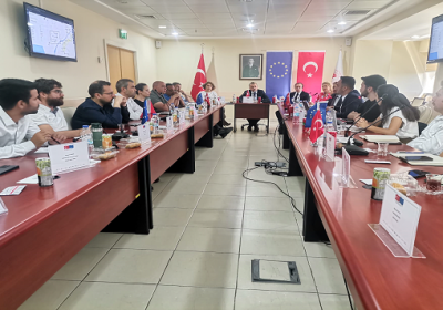
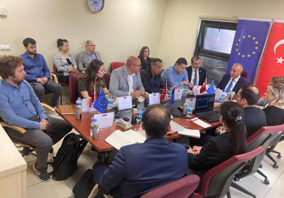
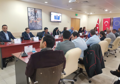
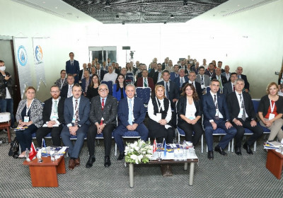
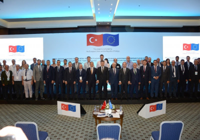
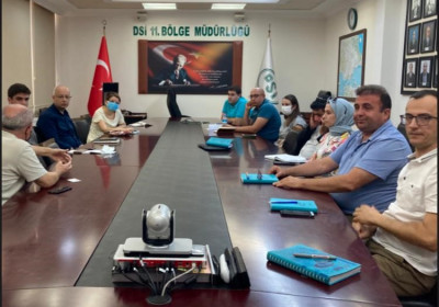
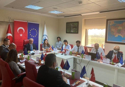
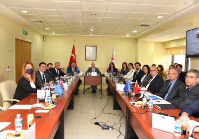
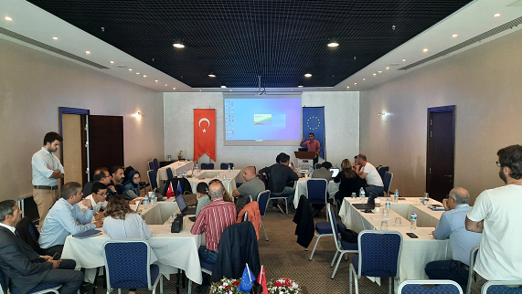
The Activity 2.2 Workshop on Flood Hazard Maps and Risk Maps was held by the “Technical Assistance to Prepare Flood Risk Management Plan for Meriç-Ergene River Basin” project, financed by the European Union and the Republic of Türkiye within the scope of the Environment and Climate Action Sector Operational Programme (IPA-2). The workshop was convened in Edirne between November 13-17, 2023, with the participation of stakeholders in the basin region.
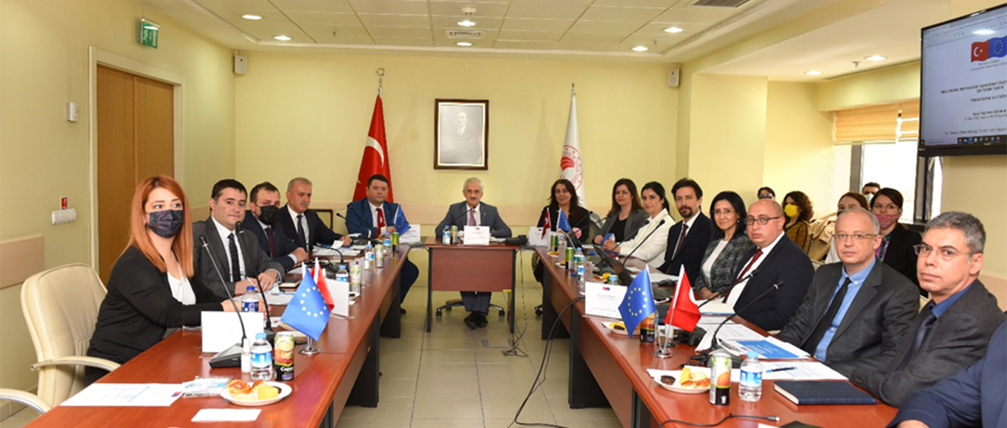
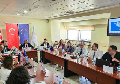
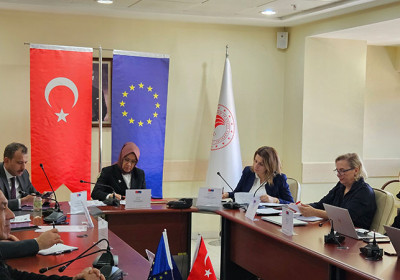
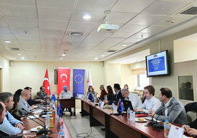
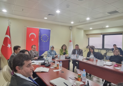
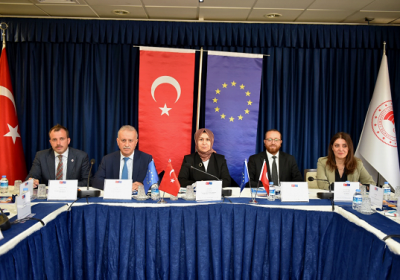
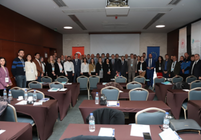
Activity 2.2 Flood Hazard and Flood Risk Maps Workshop started after the opening speech of Mr. Maruf ARAS, Deputy General Manager, with the participation of stakeholder institutions and organizations and contractor company representatives. The five-day workshop was attended by approximately 30 people, including representatives from Edirne Provincial Directorate of Meteorology, Edirne Provincial Directorate of Nature Conservation and National Parks, Edirne Provincial Directorate of AFAD, Edirne Provincial Directorate of AFAD, Tekirdağ Provincial Directorate of AFAD, Kırklareli Provincial Directorate of AFAD, General Directorate of State Hydraulic Works, 11th Regional Directorate of DSI, Kırklareli Provincial Directorate of Agriculture and Forestry, Edirne Provincial Directorate of Agriculture and Forestry, Tekirdağ Provincial Directorate of Agriculture and Forestry, Turkish State Railways (TCDD) and Edirne Water and Sewerage Administration, and contractor company representatives.
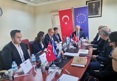
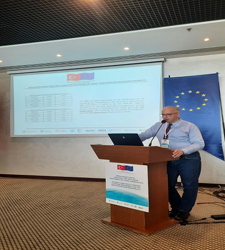
The first session of the workshop started with the presentation titled "Flood Management Plan Studies in Türkiye" by Mr. Mustafa Demirel, Project Engineer of the Directorate General of Water Management. He firstly focused on the purpose and objectives of the project in the presentation and talked about the activity sets of the project. He emphasized that Flood management plans have been completed for 24 of the 25 basins in Türkiye and that the management plan studies for the Meriç-Ergene basin, which is the last basin, are ongoing within the scope of our project. Subsequently, detailed information was shared with the participants about the Flood Management Plan prepared and the basin within the scope of the project and the method of work carried out, and the studies carried out such as preliminary flood risk assessment, hydrology studies, mapping studies were mentioned. Participants were then briefed on the details of the findings so far, data sourcing and organization, and details of the ongoing work. In this section, various information and visuals were presented, focusing on topics such as verification of hydrodynamic models and solution proposals, precautionary works, flood evacuation plan maps, flood forecasting early warning system and strategic environmental assessment. Mr. Demirel concluded his presentation by stating that their goal is to ensure effective risk management rather than crisis management.

In the continuation of the workshop, Mr. Ric Huting, a Flood Risk Specialist from the Netherlands, shared detailed information in his presentation titled ''Flood Legislation: EU Country Case Study" about the Water and Flood Legislation, management plans, related institutions, structures of these institutions, financing sources for plans and implementation projects in Ireland, which was determined as a European Union country example within the scope of the subject.
In the last presentation of the first session, Mr. Egemen Fırat, Deputy Team Leader from the Project Technical Assistance Team, provided information on hydrology and flood hazard mapping studies in Türkiye. After mentioning the definition and general concepts of hydrology, Mr. Fırat touched upon topics such as hydrometeorological data collection, data evaluation, meteorological and observation stations used to provide data, hydrometeorological measurements and measurement processes in our country. In the continuation of the presentation, technical information was shared with the participants on the process of determining flood hydrographs with hydrological modeling, and validation of hydrodynamic models with current floods and their solution proposals.

The first day of the workshop ended with general evaluation and question and answer session.
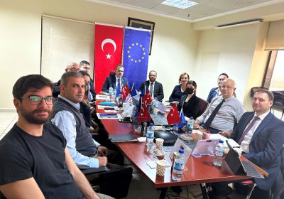
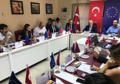
The second day of the workshop started with the presentation of Technical Expert Ric Huting on the technical content of the flood management plan prepared in the Netherlands. He shared information and experiences on methodology, project steps, practical examples, and the Management Plan prepared in the Netherlands within the scope of the studies on flood prevention structures.
In the continuation of the session, Mr. Alican Gündoğdu, Project Engineer of the Project Technical Assistance Team, made a presentation on "Explanation of the Methodology for Hydraulic Modeling and Flood Hazard Maps Studies to be Implemented" in which the hydraulic modeling and mapping methodology to be applied in the project was shared with the participants. The participants were provided with technical information about the format of the input data used in hydraulic modeling studies in the FLOODMERG project, the HEC-RAS program used in hydraulic modeling studies and its features. In the continuation of the presentation, the interpretation of the outputs of the hydraulic model studies and the transformation of the outputs into risk maps and the process of preparing the measures were shared.

Then, in the second half of the session, Technical Expert Ric Huting continued the workshop with his presentation titled "Problems Faced Worldwide Regarding Flood Studies and Different Methods Applied"; in this section, Mr. Huting talked about the use of global datasets, hydrological studies in the absence of data and bathymetric estimations in places where in-river measurements cannot be taken.
The second session of the Workshop ended after the presentation of Mr. Egemen FIRAT, Deputy Team Leader from the Technical Assistance Team, on the summary of the Hydrology methodology used within the scope of our project, the content and results of the hydrology report.
The third day of the workshop started with Mr. Ric Huting's presentation titled "Hydrological Approaches in Flood Early Warning Systems" where he examined examples of hydrological approaches in the system of flood early warning system and touched upon artificial intelligence applications in hydrology studies.

Afterwards, Mr. Deniz İtibar, Project Team Leader, made a presentation titled "Application of L-Moment Method in Flood Hydrology" in which he elaborated on the details of L-Moment method, which is used to make reliable forecasts in areas where measurements are made within the scope of the project and to make forecasts in areas where there are incomplete measurements or no measurements.
Following Mr. İtibar's presentation, Mr. Murat Maraş shared with the participants the hydrology studies completed within the scope of the project and the methods used, hydraulic modeling, and mapping studies.
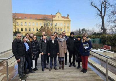
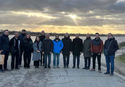
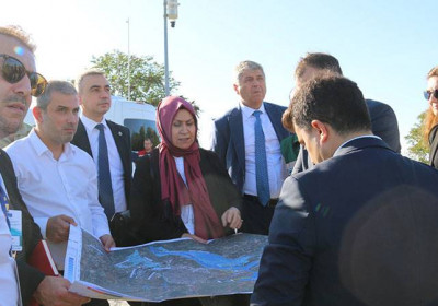
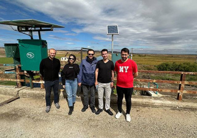
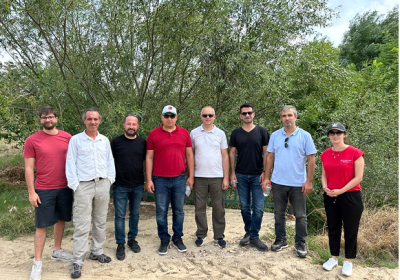
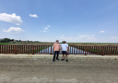
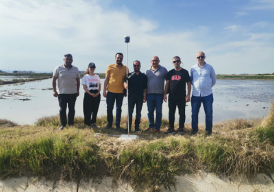
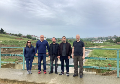
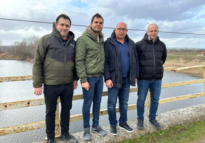
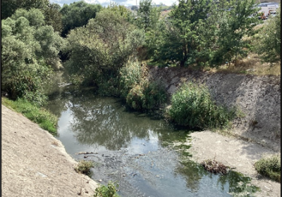
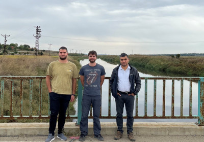
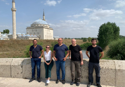
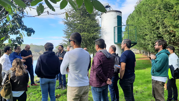
Subsequently, field visits were made to the locations where these maps were acquired and to the stream gauging stations in the region.
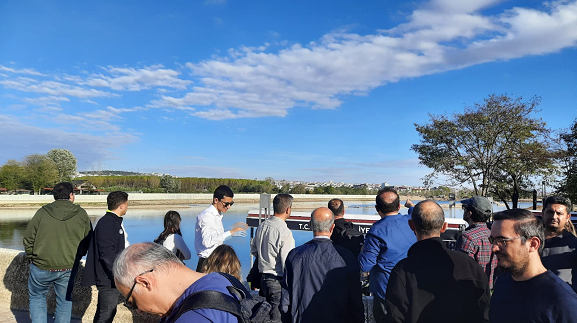
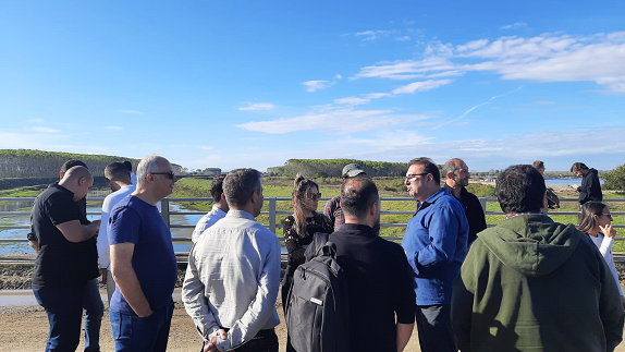
Field works carried out within the scope of the project were checked on site with the participants.

During the final two days of the workshop, hands-on-sessions were carried out, regarding both GIS-based and modeling-based sample applications for hydrology studies.
The fourth session started with the presentation of Project Researcher, Lecturer Mehmet Seren Korkmaz on "Using Synthetic Methods for Hydrology Studies". In the presentation, firstly information about flood hydrology calculations was given. Following that, synthetic unit hydrograph methods such as the rational method, DSI synthetic method, Mockus method, and Snyder method were mentioned in the presentation. Then information was given about flood frequency analysis methods, which are methods of calculating flood flow rate with flow data.
In the afternoon, Mr. Korkmaz gave a demonstration on his computer to the participants before the practical session. Afterwards, working groups were formed with the participants and ARC-GIS software and other software packages with the necessary tools were installed. Practical sessions were held with the participants for flow rate calculation with classical methods through ARC-GIS "Model Builder" application.

After the general evaluation and Q&A session at the end of the program, the workshop ended after the suggestions and contributions of the participants on the program and its outcomes.