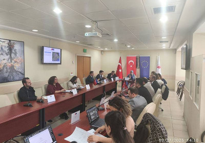
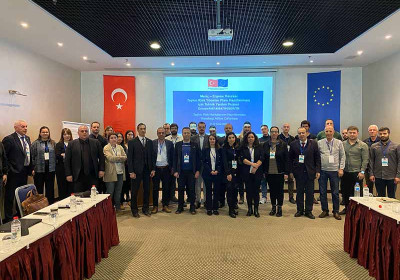
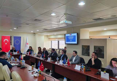
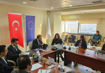
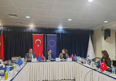
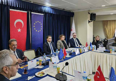
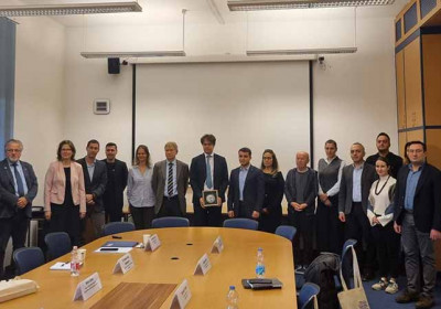
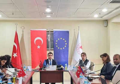
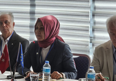
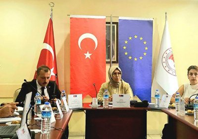
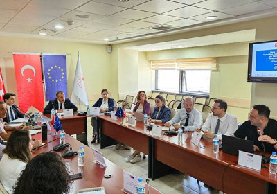
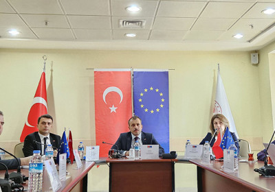
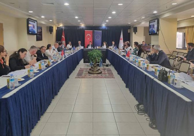
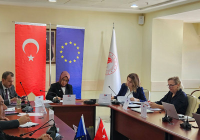
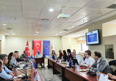
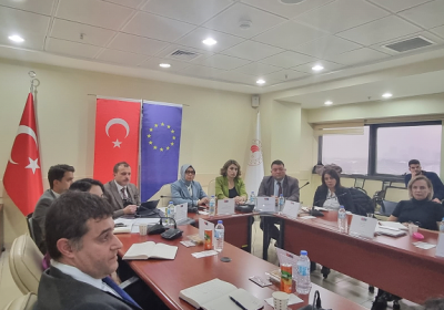
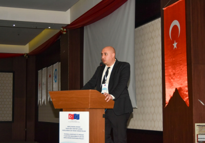
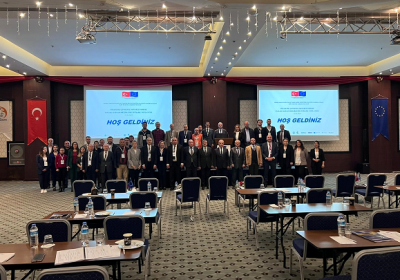
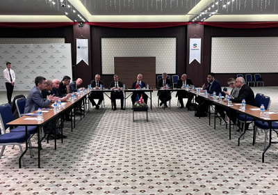
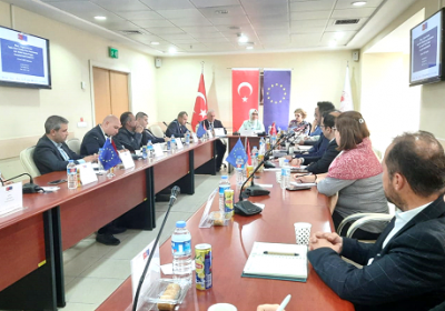
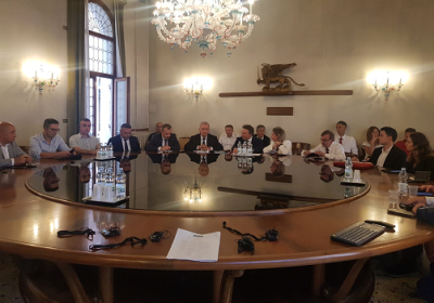
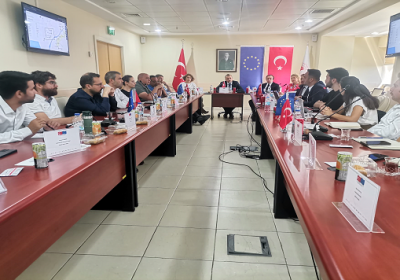
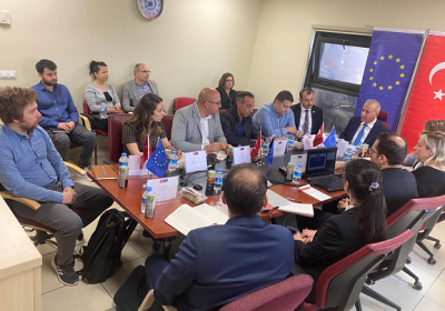
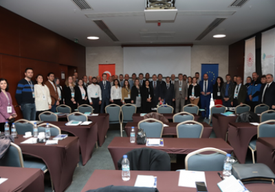
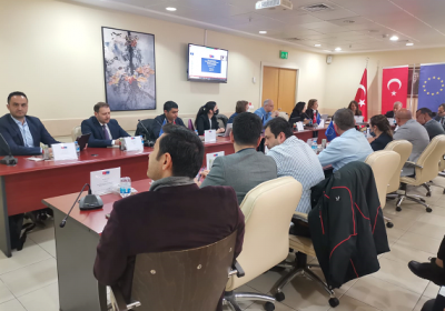
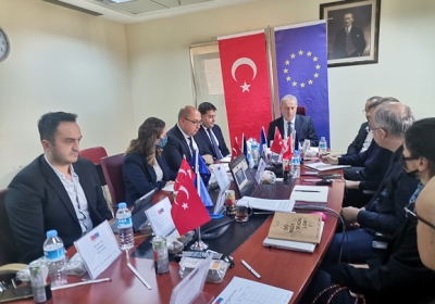
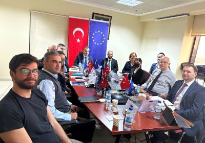
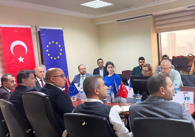
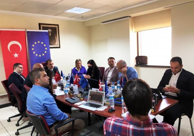
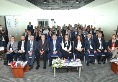
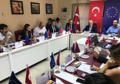
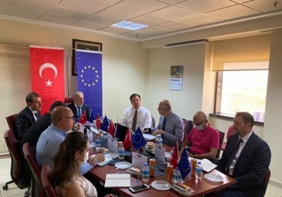
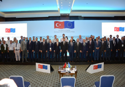
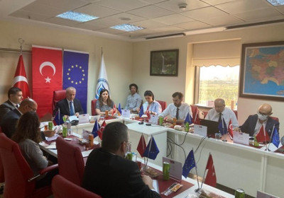
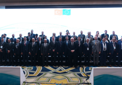
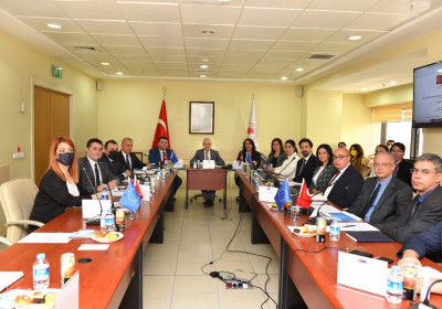
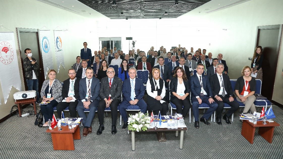
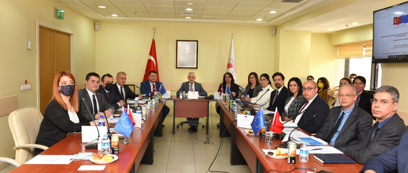
The Selection of Methodology for Preliminary Flood Risk Assessment Workshop within the scope of "Technical Assistance to Prepare Flood Risk Management Plan for Meriç-Ergene River Basin" project took place from 3 to 7 October 2022 in Edirne.
A total of 54 participants attended the workshop including the Deputy Governor of Edirne Mr. Ali Uysal, Ministry of Agriculture and Forestry Director General for Water Management Ms. Afire Sever, Delegation of European Union to Türkiye Sector Manager for Environment & Sustainable Development Ms. Elif Ceyda Torcu Özden, representatives from the Ministry of Environment, Urbanisation and Climate Change, General Directorate of Highways, Directorate of Provincial Agriculture and Forestry, Directorate General of Forestry, Turkish Water Institute, Disaster and Emergency Management Presidency in Edirne and Tekirdağ, General Directorate of Turkish State Railways, Trakya Development Agency, 11th Regional Directorate of State Hydraulic Works, Provincial Health Directorate, General Directorate of Nature Conservation and National Parks, Governorship of Kırklareli, Kırklareli Municipality and provincial municipalities as well as the authorities from contractor firm.
During the 5-day workshop, it was aimed to select a new methodology with the contributions of local participants by examining both the Preliminary Flood Risk Assesment (PFRA) approach in our country and PFRA examples from the world in order to identify areas with potential significant risk in the basin.
On the first day of the workshop, Mr. Saadettin Malkaralı from the 11th Regional Directorate of State Hydraulic Works gave general insight about the Meriç – Ergene River Basin and discussed the legislation and agreements regarding the transboundary countries (Greece and Bulgaria). Supporting his presentation with videos and visuals, Mr. Malkaralı discussed the historical floods experienced in the basin in detail and mentioned the measures taken in the basin in the short, medium and long term.
Afterwards, personnel of the General Directorate of Water Management, Mr. Serdar Özcan, gave information about works conducted regarding policies by addressing the flood legislation applied in our country in his presentation entitled “Evaluation of the Flood Legislation”.
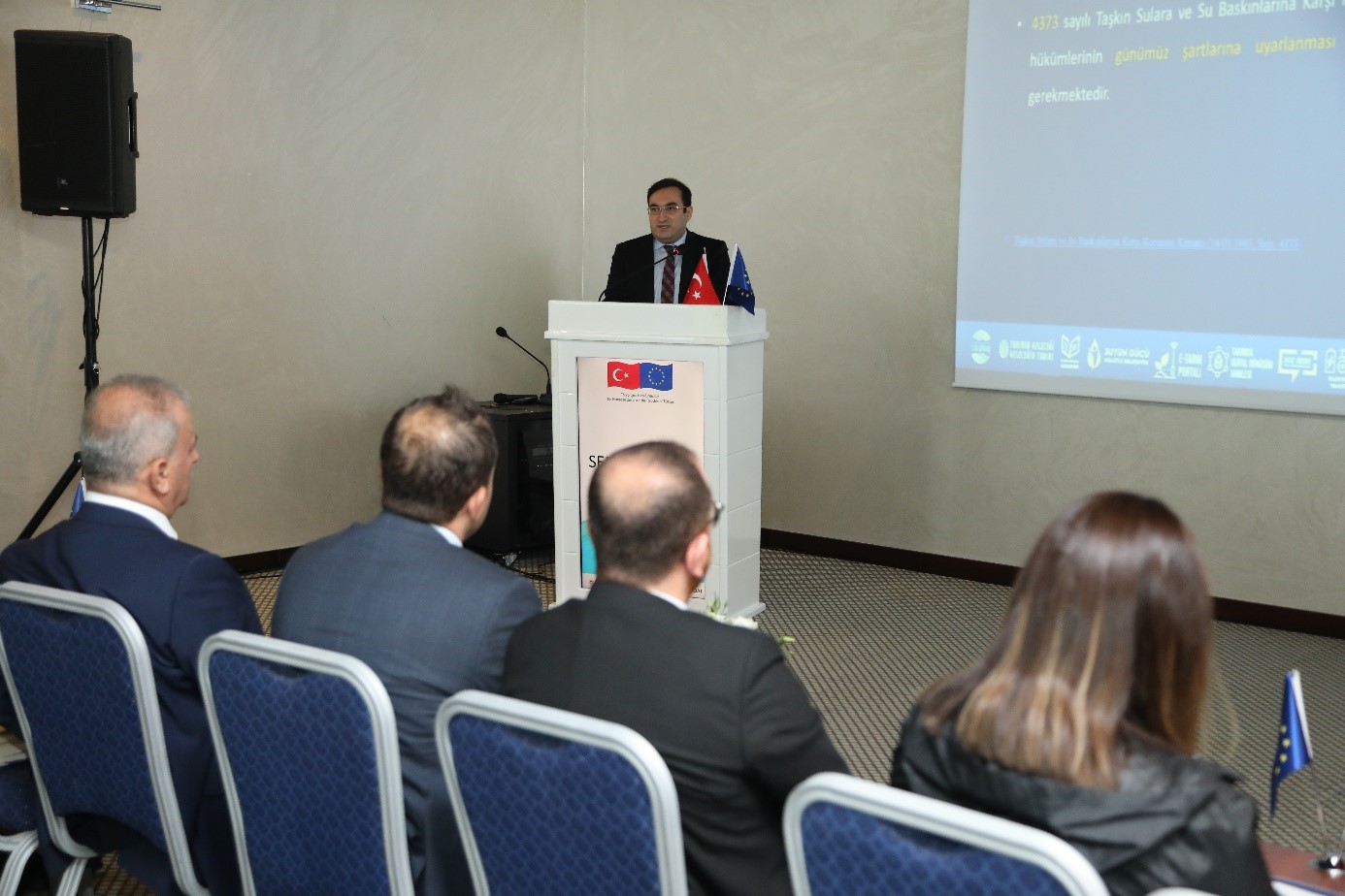
Mr. Mustafa Demirel, personnel of the General Directorate of Water Management, gave detailed information about the Flood Management Plans and evaluated the implementation status of the measures in his presentation entitled “Flood Management Plan in Our Country and the Implementation Status of the Measures”.
Finally, Ms. Maria Cheveresan, technical expert from Romania DHI, made a presentation on the current status of the Flood Directive in Romania, the 1st Cycle of the Flood Directive (2010-2015) and the Transposition of the Flood Directive into National Legislation in Romania.
On the second day of the workshop, Ms. Maria Cheveresan and Mr. Mihai Stancu, technical experts from Romania, gave information about the methodologies applied in the EU according to the Flood Directive and talked about the positive and negative aspects of the Flood Directive in the 1st Cycle. In the last session, Mr. Demirel made another presentation entitled “Preliminary Flood Risk Assessment in Our Country and the Methodology to be Applied in the Project” and the methodology that can be applied in the Meriç Ergene Basin was evaluated with the contribution of the participants.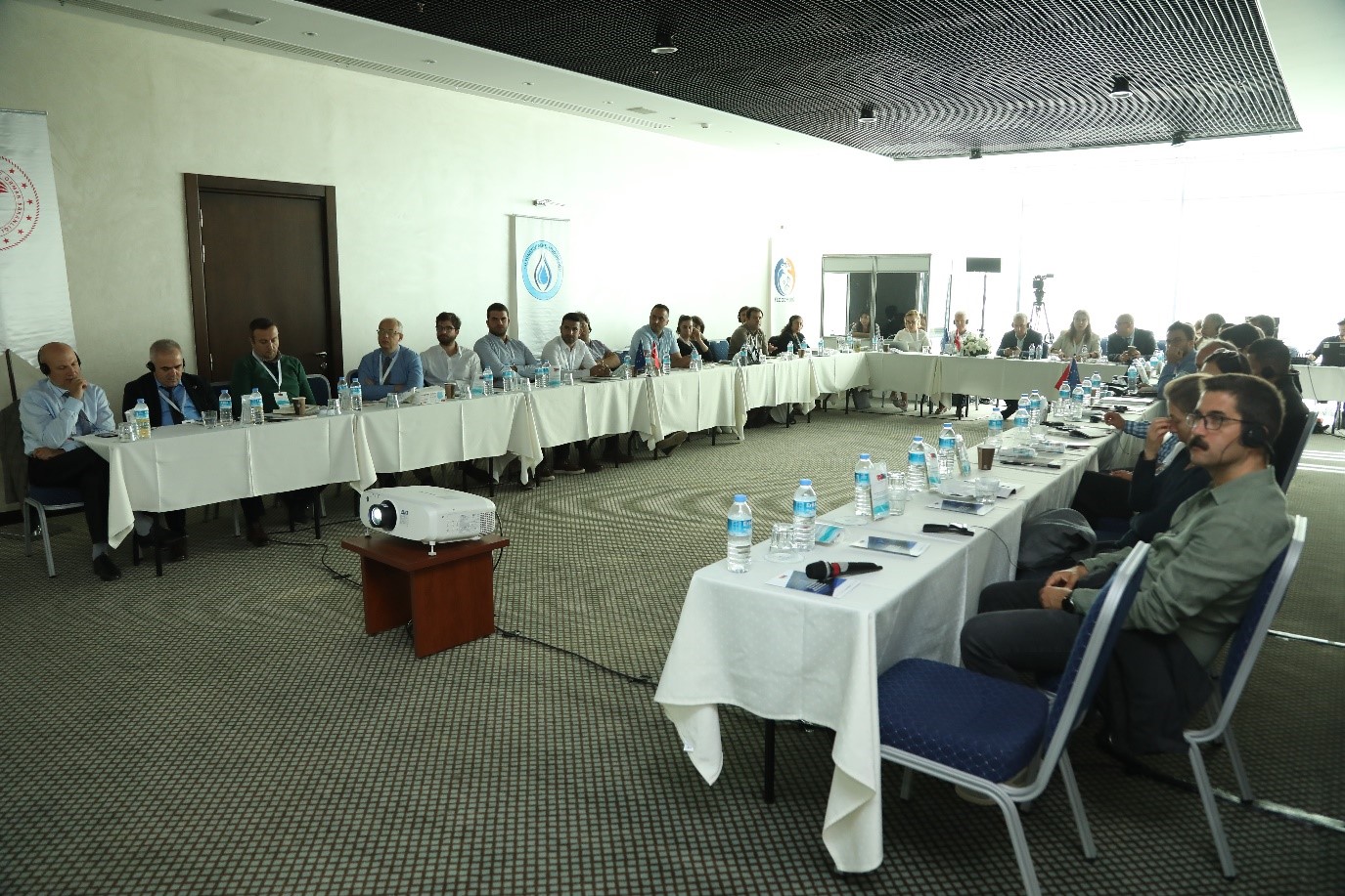
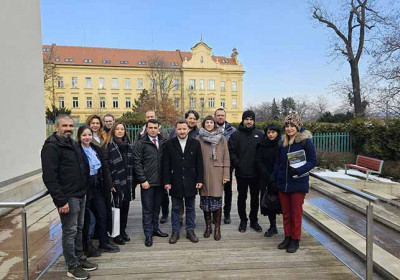
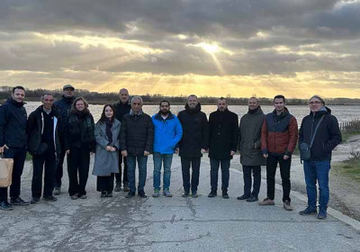
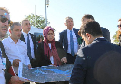
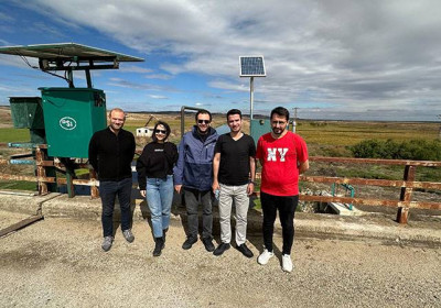
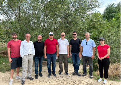
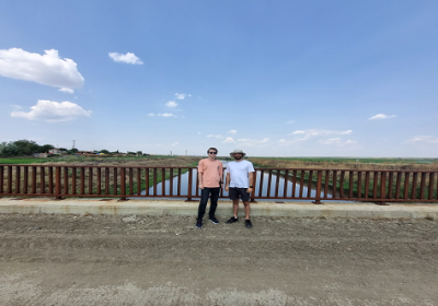
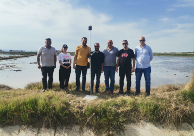
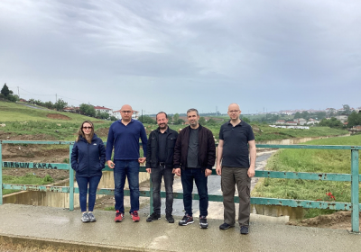
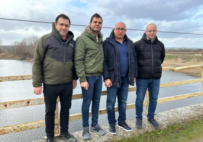
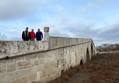
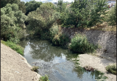
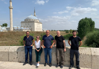
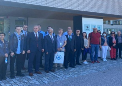
During the technical field visit held with the participation of 44 people on the 3rd day of the workshop;
* The military zone at the intersection of the Arda and Meriç Rivers, the area where the flood first occurs, and at the Pazarkule border gate,
* Canal Edirne, which was built to minimize the flood in the Karaağaç region,
* Tunca River and the region where historical floods are experienced,
* The gauging station near Meriç Bridge,
* The intersection of Tunca and Meriç Rivers and the gauging station were visited, and the historical floods demonstrated by Mr. Malkaralı in his presentation on the first day of the workshop and the ongoing Rubber Dam project being conducted by the Special Provincial Administration, were seen on site.

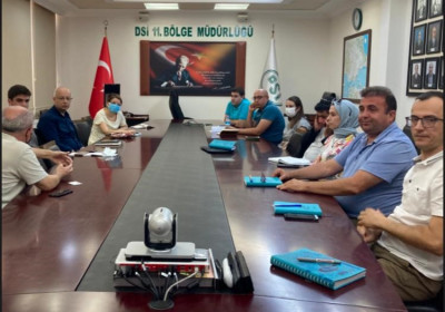
Using Geographical Information System in order to generate the river network located in the basin, identify the population and UniqeIDs to the relevant settlement areas and to determine settlement areas in the basin, an interactive study was carried out with the participation of 40 people for the rest of the workshop.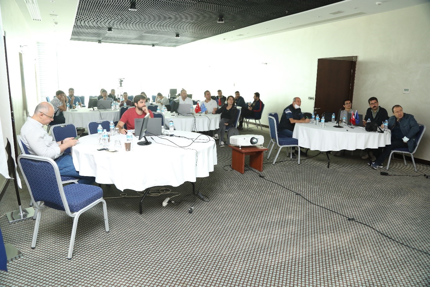
At the same time, the rivers specified in the Terms of Reference were generated and the affected population analysis was carried out in the residential areas determined in the basin and a case study was carried out in the GIS environment using ArcGIS software. With the contribution of the representatives from relevant institutions, Preliminary Flood Risk Assessment Methodology studies were evaluated interactively, some discussions were carried out on the closed-section streams that could not be detected in the settlements during the field visits and the contributions of the participants were noted.
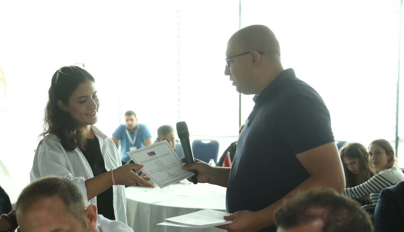
On the last day of the workshop, the participants expressed their opinions on the project and the general content of the workshop. In addition, evaluation forms were filled by the participants in order to record their contributions in a written way. At the end of the workshop, certificates were presented to the participants.